Missouri River from Leavenworth Esplanade
|
U.S. Penitentiary, Leavenworth
|
Stranger Creek
|
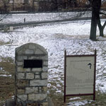
Santa Fe Trail and Oregon Trail Marker at Fort Leavenworth
|
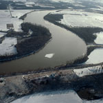
Kansas River (Aerial)
|
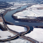
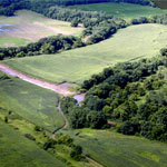
Stranger Creek at Kansas River Bend (Aerial)
|
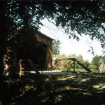
Covered Bridge Over Stranger Creek
|
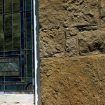
Limestone at Easton Methodist Church
|
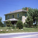
Limestone Farmhouse and Glacial Boulders
|
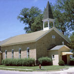
Easton Methodist Church
|
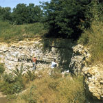
Field Trip to Natural Storage Inc.
|
Natural Storage Inc.
|
Limestone Wall at Fort Leavenworth
|
Missouri River
|
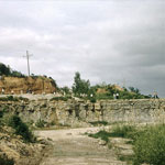
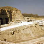
Quarry in Plattsmouth Limestone Member
|
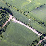
Floodwater Cutoff Meander at Stranger Creek (Aerial)
|
Floodwater Cutoff Meander on Stranger Creek (Aerial)
|