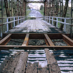
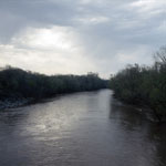
Bridge Over Verdigris River
|
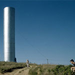
Water Tower
|
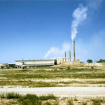
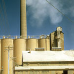
Universal Atlas Cement Company
|
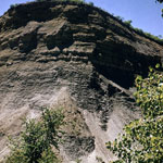
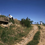
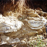
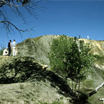
Outcrop of Hickory Creek Shale Member
|
Universal Atlas Cement Company
|
Fossil Site Near Cherryvale
|
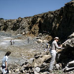
Cement Company Quarry
|
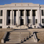
Montgomery County Courthouse
|
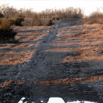
New Gas Pipeline
|
New Pipe for Gas Line
|
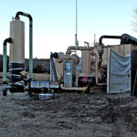
Gas Pipeline Pressure Station
|
Soft Sediment Deformation Sandstone
|
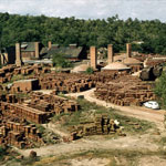
United Brick and Tile Company, Coffeyville
|
Abandoned Brick Plant south of Cherryvale
|
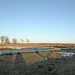
Verdigris River
|
