|
1
||
2
|
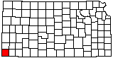
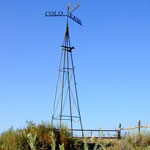
Point of Rocks
|
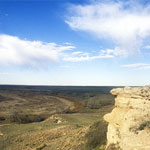
Ogallala Formation Outcrop at Point of Rocks
|
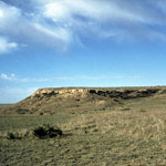
Point of Rocks Ogallala Formation Outcrop
|
Point of Rocks Outcrop
|
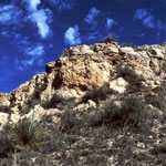
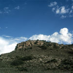
Point of Rocks
|
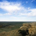
Point of Rocks
|
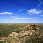
Point of Rocks
|
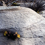
Wildflowers at Point of Rocks
|
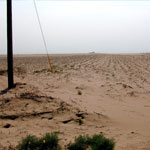
Blown Sand Across Cultivated Field
|
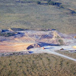
Ogallala Formation Caliche Pit
|
Dry Channel of Cimarron River
|
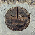
Monument marking Kansas, Colorado, Oklahoma State Lines
|
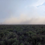
Dust Storm
|
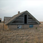
Half-Dugout House
|
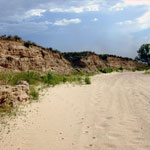
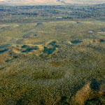
Stabilized Dunes (Aerial)
|
Eight Mile Corner
|
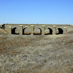
Stone Arch Bridge
|
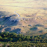
Point of Rocks and Cimarron River (Aerial)
|
|
1
||
2
|