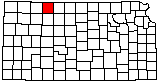
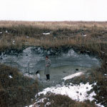
Volcanic Ash Pit
|
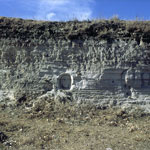
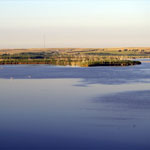
Keith Sebelius Lake
|
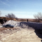
Ash Quarry
|
Reager Ash Pit
|
Prairie Dog State Park
|
Ash Pit
|
Ash Pit
|
Volcanic Ash Outcrop
|
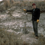
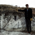
Reager Ash Pit

|
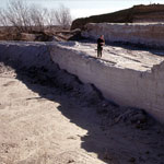
Reager Ash Outcrop
|
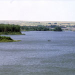
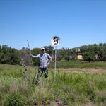
Abandoned Golf Course at Cutting Lake
|
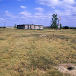
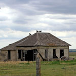
Turkey Vultures Perched on Abandoned House
|
Keith Sebelius Lake
|
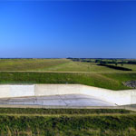
Keith Sebelius Lake Spillway
|
|