|
1
||
2
||
3
|
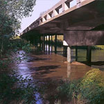
High Flow on Arkansas River
|
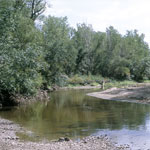
Low Flow in the Arkansas River
|
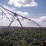
Center Pivot Irrigation
|
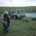
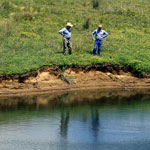
Seismic Measurement at Macksville Sink
|
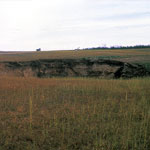
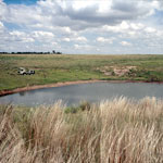
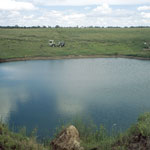
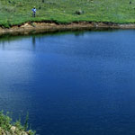
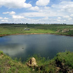
Macksville Sink
|
Seismic Measurement at Macksville Sink
|
Measuring Macksville Sink
|
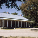
Fort Larned Officers' Quarters
|
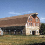
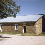
Fort Larned Barn
|
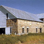
Fort Larned Livery
|
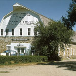
Fort Larned Sutler's Store
|
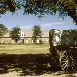
Fort Larned Parade Ground
|
Fort Larned Barracks
|
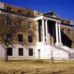
Pawnee County Courthouse
|
Macksville Sink
|
Macksville Sink
|
Macksville Sink
|
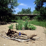
Measuring Groundwater in Dry Riverbed
|
|
1
||
2
||
3
|