|
1
||
2
|
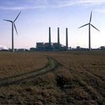
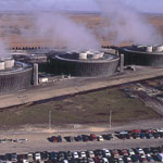
Jeffrey Energy Center Wind Turbines
|
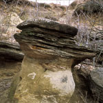
Sandstone Hoodoo
|
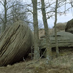
Sandstone Concretions
|
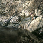
Tuttle Creek Lake
|
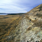
Humboldt Fault Zone
|
Splitting Stone at Bayer Stone Co.
|
Jeffrey Energy Center Towers
|
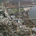
Wamego
|
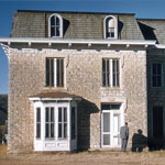
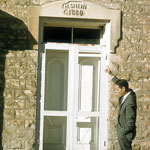
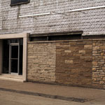
Limestone House
|
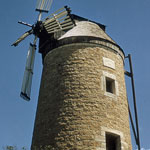
Old Dutch Mill
|
Bayer Stone Co.
|
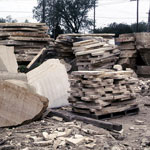
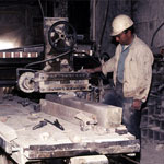
Bayer Stone Co. Planing Stone
|
Bayer Stone Co. Neva Limestone Quarry
|
Limestone House
|
Bayer Stone Co. Quarry
|
Bayer Stone Co.
|
Bayer Stone Co.
|
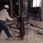
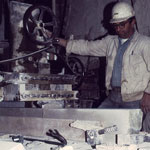
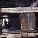
Bayer Stone Co. Gang Saw
|
|
1
||
2
|