|
1
||
2
|
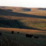
Flint Hills and Tallgrass Prairie

|
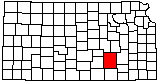
Kansas Oil Museum Rig
|
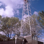
1995 KGS Energy Field Conference
|
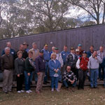
Kansas Oil Museum
|
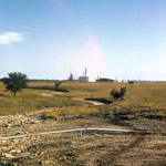
Refinery in El Dorado
|
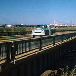
Mobil Oil in Augusta
|
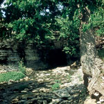
Limestone Cave and Spring
|
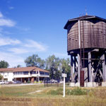
Frisco Water Tower
|
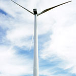
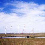
Wind Turbine
|
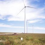
Elk River Wind Farm
|
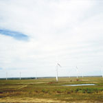
Elk River Wind Farm
|
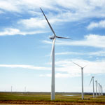
Elk River Wind Farm
|
Elk River Wind Farm
|
Open Range in the Flint Hills
|
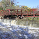
Walnut River Pedestrian Bridge and Falls, El Dorado
|
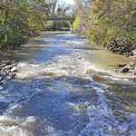
Walnut River, El Dorado
|
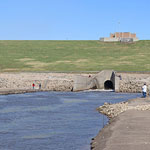
El Dorado Lake Spillway and Walnut River

|
El Dorado Lake Spillway and Walnut River
|
|
1
||
2
|