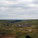
KGS Photo Display System

Photos from Rawlins County

location map
Help Comments
14 records returned. Select photo to view larger version.
High Plains View
photo--if missing then file not yet transferred
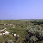
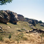
Volcanic Ash Outcrop
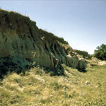
photo--if missing then file not yet transferred
Reager Ash Outcrop
photo--if missing then file not yet transferred
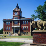
Rawlins County Courthouse
photo--if missing then file not yet transferred
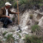
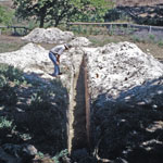
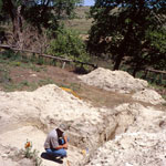
Excavation at Bison Jump
photo--if missing then file not yet transferred
Rock Shelter Near Burntwood Creek
photo--if missing then file not yet transferred
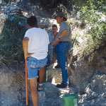
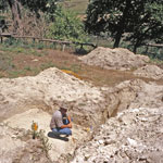
Dig Site Near Burntwood Creek
photo--if missing then file not yet transferred
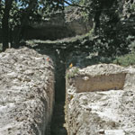
Excavation Along Burntwood Creek
photo--if missing then file not yet transferred
Excavation Near Rock Shelter on Burntwood Creek
photo--if missing then file not yet transferred
Excavation Below Rock Shelter on Burntwood Creek
photo--if missing then file not yet transferred
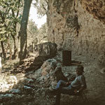
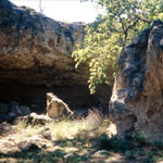
Burntwood Creek Rock Shelter
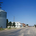
photo--if missing then file not yet transferred
McDonald, Kansas
photo--if missing then file not yet transferred
Ogallala Capstone Spall
photo--if missing then file not yet transferred
Ogallala Formation Outcrops
photo--if missing then file not yet transferred

Kansas Geological Survey, Educational Resources
Feel free to use photos from the Kansas Geological Survey's collection for any non-commercial use.
Please credit the Kansas Geological Survey for photos you use.
Comments to webadmin@kgs.ku.edu
URL=http://www.kgs.ku.edu/Images/DB/index.html
Program updated Nov. 11, 2004. Photos added periodically.