13 records returned. Select photo to view larger version.
Salt Company
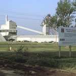
Drill Rig
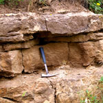
Stone Corral Formation
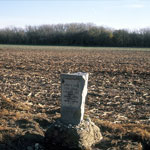
Santa Fe Trail Marker
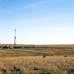
Volcanic Ash Pit
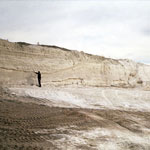
Volcanic Ash Deposit
Volcanic Ash in Central Kansas
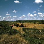
Quarry
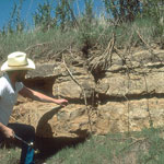
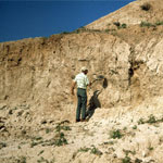
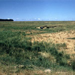
Permian Outcrop Above Sand Creek
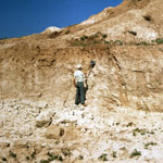
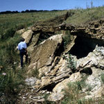
Permian Outcrop
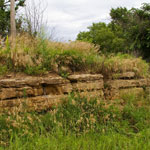
Stone Corral Formation
Stone Corral Formation
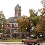
Rice County Courthouse
Kansas Geological Survey, Educational Resources
Feel free to use photos from the Kansas Geological Survey's collection for any non-commercial use.
Please credit the Kansas Geological Survey for photos you use.
Comments to webadmin@kgs.ku.edu
URL=http://www.kgs.ku.edu/Images/DB/index.html
Program updated Nov. 11, 2004. Photos added periodically.