|
1
||
2
|
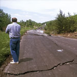
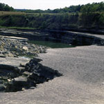
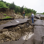
McDowell Creek Road Collapse
|
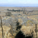
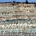
Kimberlite Trench
|
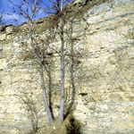
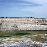
Florence Limestone Member
|
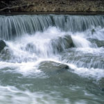
Pillsbury Crossing
|
Wreford Limestone
|
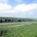
Rocky Ford on Big Blue River
|
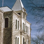
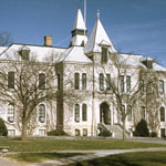
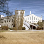
Anderson Hall at Kansas State University
|
Anderson Hall at Kansas State University
|
Tuttle Creek Fault
|
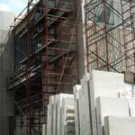
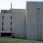
Engineering Building at Kansas State University
|
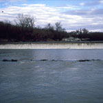
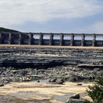
Tuttle Creek Spillway
|
Kansas State University Stadium and Fieldhouse (1960)
|
Archer Hall at Kansas State University
|
Tuttle Creek Spillway After Flood
|
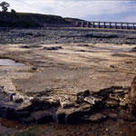
Flood Erosion Below Tuttle Creek Spillway
|
Flood Erosion Below Tuttle Creek Spillway
|
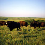
Bison on the Konza Prairie
|
McDowell Creek Road Collapse
|
|
1
||
2
|