|
1
||
2
||
3
|
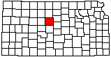
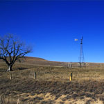
Paradise Water Tower
|
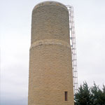
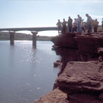
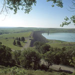
Wilson Lake
|
Hell Creek Bridge
|
Hell Creek Bridge
|
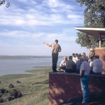
Dakota Sandstone Outcrops
|
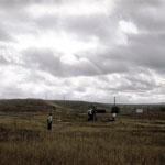
Crawford Sink
|
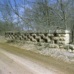
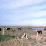
Limestone Fence Posts in Post Rock Country
|
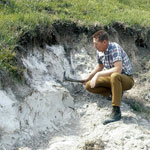
Volcanic Ash Exposure
|
Wilson Lake Dam
|
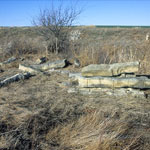
Fence-Post Limestone
|
Fence-Post Limestone
|
Cutting Fence-Post Limestone
|
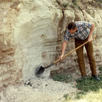
Volcanic Ash Pit
|
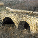
Limestone Bridge over Paradise Creek
|
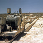
Oil Field Near Fairport
|
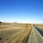
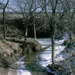
Paradise Creek
|
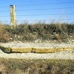
Limestone Fence Posts
|
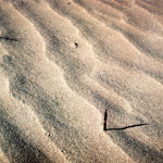
Sand Dunes
|
|
1
||
2
||
3
|
|