|
1
||
2
|
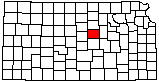
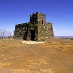
Coronado Heights Picnic Area
|
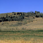
Coronado Heights
|
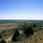
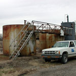
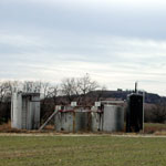
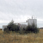
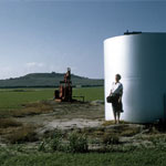
Oil Field Tanks
|
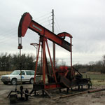
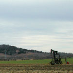
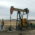
Pumpjack in Lindsborg Oil Field
|
Pumpjack at Lindsborg Oil Field
|
Oil Field Tanks
|
Pumpjack at Lindsborg Oil Field
|
Pumpjack in Lindsborg Oil Field
|
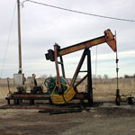
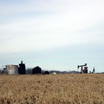
Pumpjack and Tanks
|
Oil Field Tanks
|
Oil Field Tanks
|
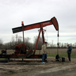
Pumpjack
|
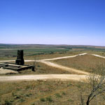
Coronado Heights "Castle"
|
Coronado Heights
|
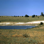
Wellington Formation-Kiowa Formation Contact
|
Lindsborg Oil Field
|
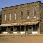
Downtown Brookville
|
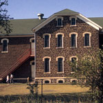
Brookville Grade School
|
|
1
||
2
|