|
1
||
2
||
3
|
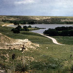
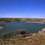
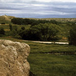
Lake McBride (Now Lake Scott)
|
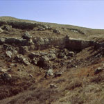
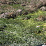
Moss Opal in Cretaceous Limestone
|
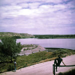
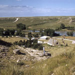
Dam at Lake McBride (Now Lake Scott)
|
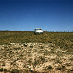
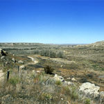
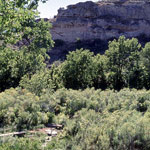
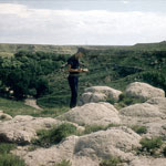
Ogallala Formation Outcrops
|
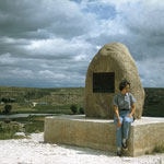
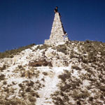
Steele Monument at Lake Scott State Park
|
Lake Scott State Park
|
Ogallala Formation Outcrops
|
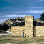
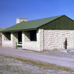
Lake Scott State Park Dining Hall
|
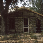
Limestone Cabin
|
Mortarbed Shelter at Lake Scott
|
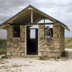
Picnic Shelter at Lake Scott
|
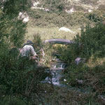
Big Spring at Lake Scott State Park
|
Big Spring at Lake Scott State Park
|
Methodist Camp at Lake Scott State Park
|
McBride Monument at Lake Scott State Park
|
Big Spring at Lake Scott State Park
|
Timber Canyon Mortarbeds at Lake Scott State Park
|
Big Spring at Lake Scott State Park
|
|
1
||
2
||
3
|