KGS Photo Display System

Photos from Sedgwick County

location map
Help Comments
23 records returned--18 displayed at a time. Select photo to view larger version.
1 || 2
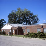
Wichita Well Sample Library
photo--if missing then file not yet transferred
Wichita Stone Company
photo--if missing then file not yet transferred
Old Sedgwick County Courthouse and War Memorial
photo--if missing then file not yet transferred
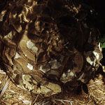
Septarian Concretion
photo--if missing then file not yet transferred
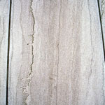
Slump Folds in Shale
photo--if missing then file not yet transferred
Stylolite in Limestone
photo--if missing then file not yet transferred
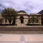
Wichita City (Carnegie) Library Building
photo--if missing then file not yet transferred
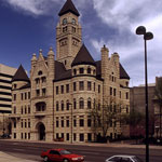
Wichita City Hall (Old)
photo--if missing then file not yet transferred
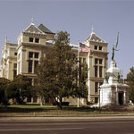
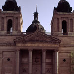
St. Mary's Cathedral, Wichita
photo--if missing then file not yet transferred
Robbins Oil Field in Wichita
photo--if missing then file not yet transferred
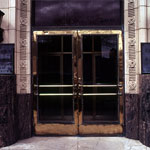
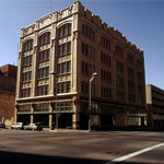
Farmers and Bankers Life Insurance Building
photo--if missing then file not yet transferred
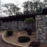
Green Quartzite Facade
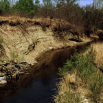
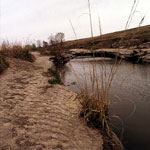
photo--if missing then file not yet transferred
Gypsum Creek
photo--if missing then file not yet transferred
S. H. Kress Company Building in Wichita
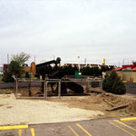
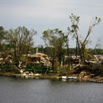
photo--if missing then file not yet transferred
Tornado Damage
photo--if missing then file not yet transferred
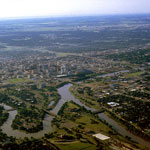
Confluence of Little Arkansas and Arkansas River (Aerial)
photo--if missing then file not yet transferred
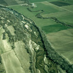
Braided Arkansas River (Aerial)
photo--if missing then file not yet transferred
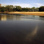
Point Bar on Arkansas River
photo--if missing then file not yet transferred
1 || 2

Kansas Geological Survey, Educational Resources
Feel free to use photos from the Kansas Geological Survey's collection for any non-commercial use.
Please credit the Kansas Geological Survey for photos you use.
Comments to webadmin@kgs.ku.edu
URL=http://www.kgs.ku.edu/Images/DB/index.html
Program updated Nov. 11, 2004. Photos added periodically.