6 records returned. Select photo to view larger version.
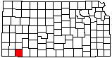
Drilling Rig
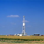
Sand Pit in Sand Hills (Aerial)
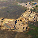
Feedlot and Lagoons (Aerial)
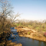
Spring Flow on Cimarron River
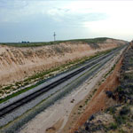
Railroad Cut in Ogallala Formation
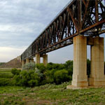
Samson of the Cimarron Railroad Bridge
Kansas Geological Survey, Educational Resources
Feel free to use photos from the Kansas Geological Survey's collection for any non-commercial use.
Please credit the Kansas Geological Survey for photos you use.
Comments to webadmin@kgs.ku.edu
URL=http://www.kgs.ku.edu/Images/DB/index.html
Program updated Nov. 11, 2004. Photos added periodically.