|
1
||
2
|
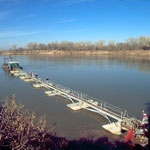
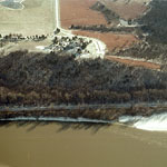
Sand Dredging
|
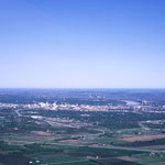
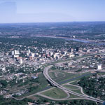
Topeka (Aerial)
|
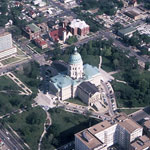
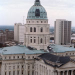
Kansas State Capitol (Aerial)
|
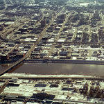
Downtown Topeka (Aerial)
|
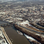
Kansas River (Aerial)
|
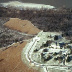
Cedar Crest and the Kansas River (Aerial)
|
Cedar Crest and the Kansas River (Aerial)
|
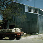
Topeka Stone Co.
|
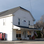
Sommerset Hall
|
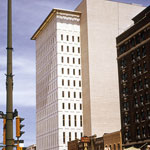
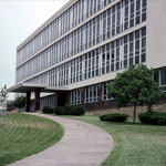
Kansas Power & Light Company Building
|
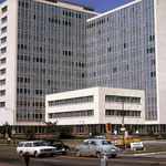
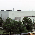
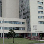
Docking State Office Building
|
Municipal Auditorium
|
Kansas State Capitol
|
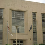
Topeka City Hall
|
Shawnee County Courthouse
|
Docking State Office Building
|
Kansas Historical Society and Pottawatomie Baptist Mission
|
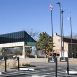
Union Pacific Railroad Passenger Depot (Aerial)
|
|
1
||
2
|