12 records returned. Select photo to view larger version.
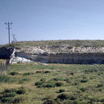
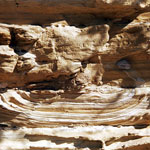
Volcanic Ash Bed
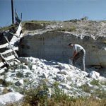
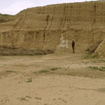
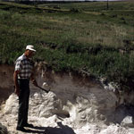
Volcanic Ash Outcrop
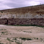
Volcanic Ash Bed
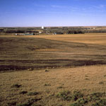
Town of Studley
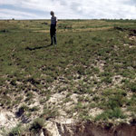
Riverbed Fault in Saline River
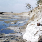
Volcanic Ash Pit
Volcanic Ash Layer
Silicified Chalk
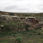
Volcanic Ash Deposit
Volcanic Ash Exposure
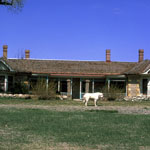
Cottonwood Ranch State Historic Site
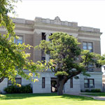
Sheridan County Courthouse and War Memorial
Kansas Geological Survey, Educational Resources
Feel free to use photos from the Kansas Geological Survey's collection for any non-commercial use.
Please credit the Kansas Geological Survey for photos you use.
Comments to webadmin@kgs.ku.edu
URL=http://www.kgs.ku.edu/Images/DB/index.html
Program updated Nov. 11, 2004. Photos added periodically.