KGS Photo Display System

Photos from Sherman County

location map
Help Comments
59 records returned--18 displayed at a time. Select photo to view larger version.
1 || 2 || 3 || 4
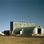
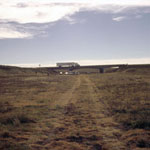
Diatomaceous Marl Plant
photo--if missing then file not yet transferred
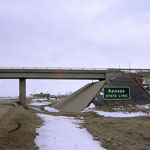
Kansas-Colorado Border
photo--if missing then file not yet transferred
Kansas-Colorado State Line
photo--if missing then file not yet transferred
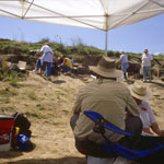
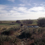
Middle Beaver Creek Excavation Site #5
photo--if missing then file not yet transferred
Beaver Creek Excavation Site
photo--if missing then file not yet transferred
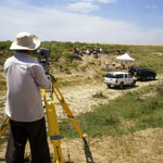
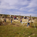
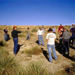
Laser Survey at Beaver Creek Excavations
photo--if missing then file not yet transferred
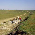
Excavations Along Beaver Creek
photo--if missing then file not yet transferred
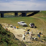
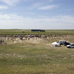
Excavation Site Below Interstate 70
photo--if missing then file not yet transferred
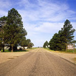
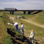
Excavation Site Near Kanorado in Sherman County
photo--if missing then file not yet transferred
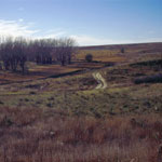
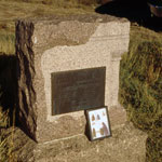
Back Road to Site of Kidder Fight (Kidder Massacre)
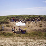
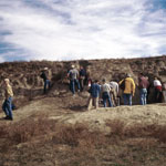
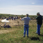
photo--if missing then file not yet transferred
Geoarchaeology Dig
photo--if missing then file not yet transferred
Middle Beaver Creek Excavation Site #6
photo--if missing then file not yet transferred
Beaver Creek Excavation Site #1
photo--if missing then file not yet transferred
Beaver Creek Excavation Site
photo--if missing then file not yet transferred
Kidder Fight (Kidder Massacre) Marker
photo--if missing then file not yet transferred
Interstate 70 Over Beaver Creek
photo--if missing then file not yet transferred
Site of 1867 Kidder Fight (Kidder Massacre)
photo--if missing then file not yet transferred
Ancient Bison Kill Site
photo--if missing then file not yet transferred
1 || 2 || 3 || 4

Kansas Geological Survey, Educational Resources
Feel free to use photos from the Kansas Geological Survey's collection for any non-commercial use.
Please credit the Kansas Geological Survey for photos you use.
Comments to webadmin@kgs.ku.edu
URL=http://www.kgs.ku.edu/Images/DB/index.html
Program updated Nov. 11, 2004. Photos added periodically.