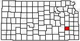
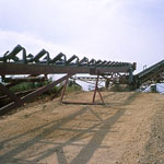
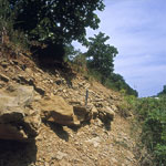
Eroded Gravel Piles
|
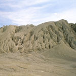
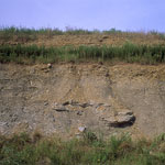
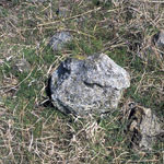
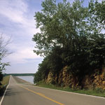
Upland Chert Gravels
|
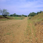
Soft Sediment Deformation, Douglas Group
|
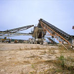
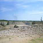
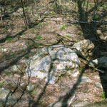
Stanton Limestone Quarry
|
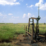
Winterschield Oil Field
|
Soft Sediment Deformation, Douglas Group
|
Stanton Limestone Quarry
|
Granite Boulders
|
Rose Dome Quarry
|
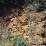
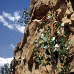
Ireland Sandstone Member
|
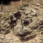
Soft Sediment Deformation
|
Ireland Sandstone Member
|
Soft Sediment Deformation
|
Granite Xenolith Associated with Lamproite Intrusion
|
Ireland Sandstone Member
|
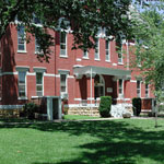
Woodson County Courthouse
|
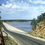
Toronto Lake Dam on Verdigris River
|