|
1
||
2
|
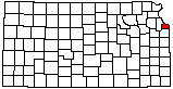
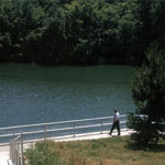
Wyandotte County Lake Dam
|
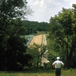
Sand Dredged from Kansas River
|
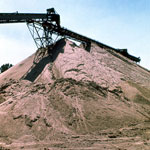
Kansas City Cement Plant (Aerial)
|
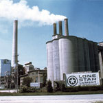
Lone Star Cement Corp.
|
Wyandotte County Lake Recreation Center
|
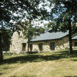
Edwardsville Armory
|
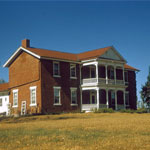
Grinter Place
|
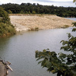
Wyandotte County Lake Park Spillway
|
Wyandotte County Lake Park
|
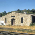
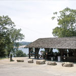
Wyandotte County Lake Park Shelter
|
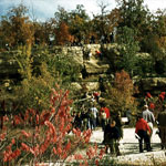
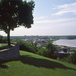
Camp Naish Overlook
|
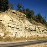
Westerville Limestone Member
|
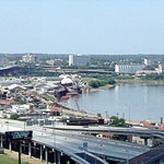
Missouri River Near Confluence With Kansas River
|
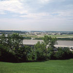
Missouri River
|
Missouri River
|
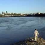
Confluence of Kansas and Missouri Rivers at Kaw Point
|
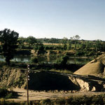
Sand Dredging Operation
|
Sand Dredged from Kansas River

|
|
1
||
2
|