6 records returned. Select photo to view larger version.
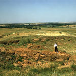
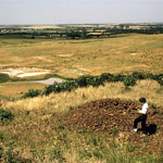
Dakota Formation
Dakota Formation
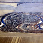
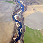
Republican River (Aerial)
Republican River (Aerial)
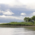
Milford Lake at Wakefield
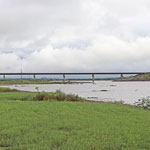
Bridge Crossing the Republican River/Milford Lake at Wakefield
Kansas Geological Survey, Educational Resources
Feel free to use photos from the Kansas Geological Survey's collection for any non-commercial use.
Please credit the Kansas Geological Survey for photos you use.
Comments to webadmin@kgs.ku.edu
URL=http://www.kgs.ku.edu/Images/DB/index.html
Program updated Nov. 11, 2004. Photos added periodically.