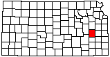
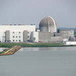
Wolf Creek Generating Station
|
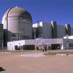
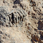
Fossils in Coffey County Quarry
|
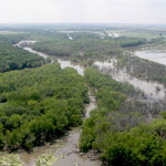
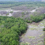
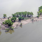
Neosho River (Aerial)
|
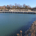
Wolf Creek Generating Station and Coffey County Lake
|
Neosho River (Aerial)
|
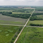
Flint Hills National Wildlife Refuge (Aerial)
|
Neosho River (Aerial)
|
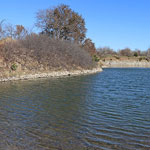
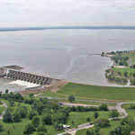
John Redmond Reservoir (Aerial)
|
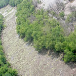
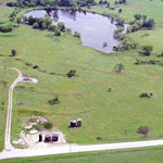
Oil Field and Pond (Aerial)
|
Wolf Creek Generating Station and Coffey County Lake
|
Limestone Quarry Near Waverly
|
Limestone Quarry Near Waverly
|
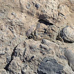
Marine Fossils at Quarry in Coffey County
|
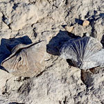
Brachiopod Fossils in Coffey County Quarry
|
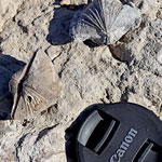
Brachiopod Fossils in Coffey County Quarry
|
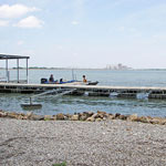
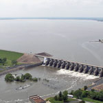
John Redmond Reservoir and Dam (Aerial)
|
John Redmond Reservoir and Dam (Aerial)
|