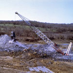
Coal Strip Mine
|
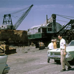
Clemens Coal Company, Pittsburg
|
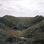
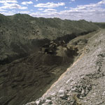
Gob Piles
|
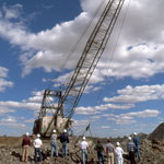
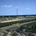
Strip Mining
|
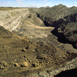
Strip Mine
|
Strip Mine
|
Strip Mine
|
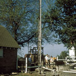
Gas Well
|
"Squirrel Sandstone"
|
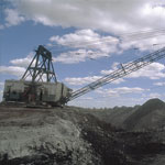
Midland Coal Company in Pittsburg
|
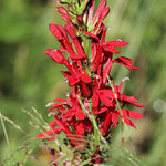
Cardinal Flower Near Lightning Creek
|
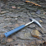
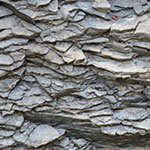
Ironstone and Pennsylvanian Shale (Mudstone)
|
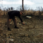
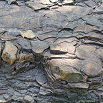
Pennsylvanian Shale (Mudstone) and Concretions on Lightning Creek
|
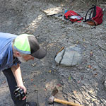
Concretions in Lightning Creek
|
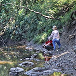
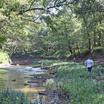
Lightning Creek
|
Pennsylvanian-Age Shale (Mudstone)
|
Ironstone Concretion and Pennsylvanian Shale (Mudstone)
|