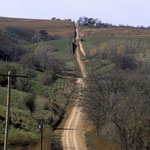
Loess Road
|
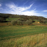
Loess Hills
|
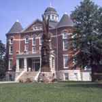
Doniphan County Courthouse and Tall Oak Monument
|
Family Cemetery
|
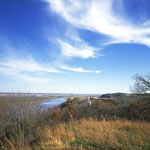
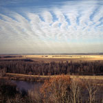
Missouri River
|
Loess Hills
|
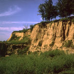
Loess Bluff
|
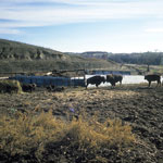
Bison Ranch
|
Contour Cultivation
|
Quarry
|
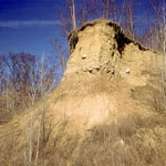
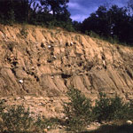
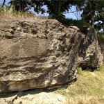
Loess Exposure
|
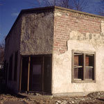
Abandoned Brick Tavern
|
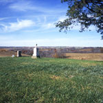
White Cloud Overlook
|
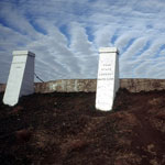
Four-State Lookout
|
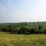
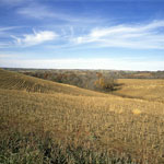
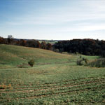
Loess Hills Farmland
|
Oread Limestone
|
|