|
1
||
2
|
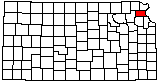
Atchison County Courthouse
|
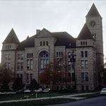
Missouri River
|
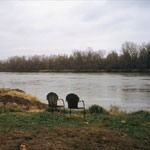
Underground Storage
|
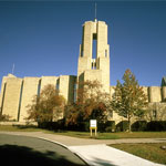
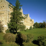
Benedictine College
|
Benedictine College
|
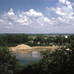
Missouri River Sand Dredging
|
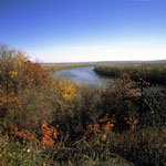
Missouri River
|
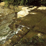
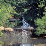
Waterfall, Atchison County
|
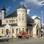
U.S. Post Office
|
Waterfall, Atchison County
|
Limestone Storage Cave
|
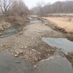
Independence Creek at the Lewis and Clark Historic Site
|
Independence Creek at the Lewis and Clark Historic Site
|
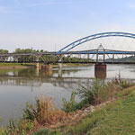
Amelia Earhart Bridge Over the Missouri River, Atchison
|
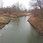
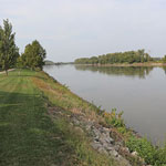
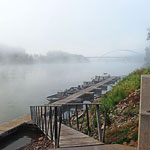
Missouri River, Atchison
|
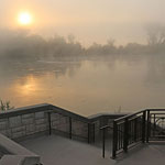
Missouri River, Atchison
|
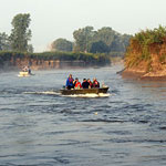
Missouri River, Atchison
|
Missouri River Side-Channel Chute
|
|
1
||
2
|