|
1
||
2
|
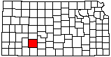
Dodge City Feedlots
|
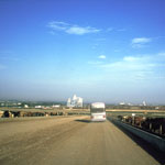
Arkansas River
|
Santa Fe Trail Wagon Ruts
|
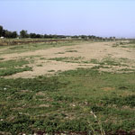
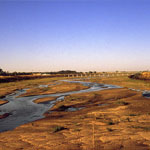
Arkansas River, Dry Riverbed
|
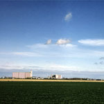
Stockyards and Meat-Processing Industry
|
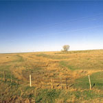
Native Prairie Grass Root System
|
Dodge City Feedlot
|
Braided Streams
|
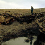
Pool in Dakota Formation Sandstone
|
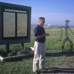
Wright, Near Dodge City
|
Native Prairie Grass Root System
|
Native Prairie Grass Root Structure
|
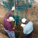
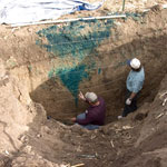
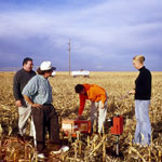
Testing Moisture Depths with Neutron Probe
|
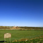
Soule Canal
|
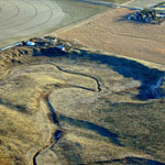
Soule Canal and Santa Fe Trail Ruts (Aerial)
|
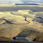
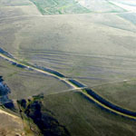
Meander Tributary to Arkansas River (Aerial)
|
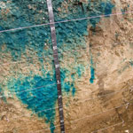
Soule Canal (Soule's Folly) and Santa Fe Trail Ruts (Aerial)
|
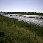
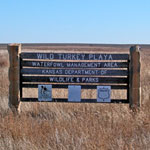
Wild Turkey Playa
|
|
1
||
2
|