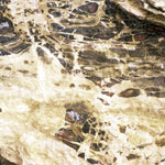
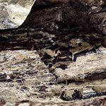
10 records returned. Select photo to view larger version.
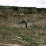
Chalk Outcrops
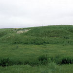
Ogallala Formation Outcrop
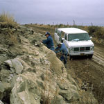
Greenhorn Limestone
Pearlette Ash Beds
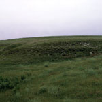
Pearlette Ash Hills
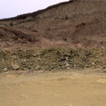
Ash Outcrop
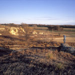
Schwark Quarry
Fossil Shell Closeup
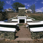
Nicodemus Historic District Visitor Center
Silicified Niobrara Chalk?
Kansas Geological Survey, Educational Resources
Feel free to use photos from the Kansas Geological Survey's collection for any non-commercial use.
Please credit the Kansas Geological Survey for photos you use.
Comments to webadmin@kgs.ku.edu
URL=http://www.kgs.ku.edu/Images/DB/index.html
Program updated Nov. 11, 2004. Photos added periodically.