KGS Photo Display System

Photos from Hodgeman County

location map
Help Comments
19 records returned--18 displayed at a time. Select photo to view larger version.
1 || 2
1996 KGS Field Conference
photo--if missing then file not yet transferred
Fossilized Wood in Outcrop
photo--if missing then file not yet transferred
Ogallala Formation Quarry Site
photo--if missing then file not yet transferred
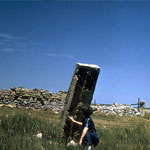
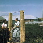
Stone Posts on Mudge Ranch
photo--if missing then file not yet transferred
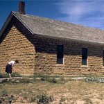
Kidderville Schoolhouse
photo--if missing then file not yet transferred
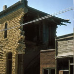
Collapsed Limestone Building
photo--if missing then file not yet transferred
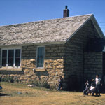
Limestone Schoolhouse/Farmhouse
photo--if missing then file not yet transferred
Post Rock Gate
photo--if missing then file not yet transferred
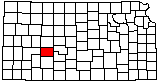
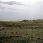
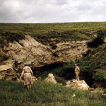
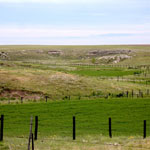
Horse Thief Canyon Area
photo--if missing then file not yet transferred
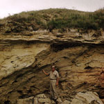
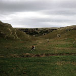
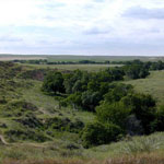
Horse Thief Canyon (1961)
photo--if missing then file not yet transferred
Hodgeman County Preserve Park
photo--if missing then file not yet transferred
Dakota Formation Sandstone
photo--if missing then file not yet transferred
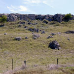
Eroded Greenhorn Limestone and Graneros Shale
photo--if missing then file not yet transferred
Greenhorn Limestone
photo--if missing then file not yet transferred
Greenhorn Limestone
photo--if missing then file not yet transferred
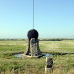
Fort Dodge to Fort Hays Road Marker
photo--if missing then file not yet transferred
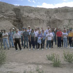
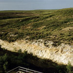
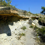
Mortar Bed in Horse Thief Canyon
photo--if missing then file not yet transferred
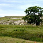
Ogallala Formation Mortar Bed
photo--if missing then file not yet transferred
1 || 2

Kansas Geological Survey, Educational Resources
Feel free to use photos from the Kansas Geological Survey's collection for any non-commercial use.
Please credit the Kansas Geological Survey for photos you use.
Comments to webadmin@kgs.ku.edu
URL=http://www.kgs.ku.edu/Images/DB/index.html
Program updated Nov. 11, 2004. Photos added periodically.