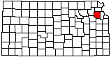
Delaware River Entering the Kansas River (Aerial)
|
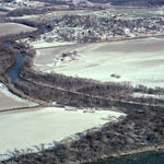
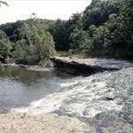
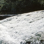
Buck Creek Falls
|
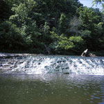
Perry Lake (Aerial)
|
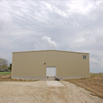
KGS Core Storage Facility
|
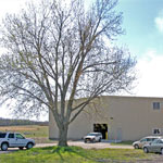
KGS Core Storage Facility
|
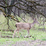
Doe at Fitch Natural History Reservation
|
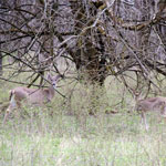
Doe and Fawn at Fitch Natural History Reservation
|
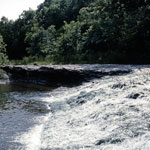
Buck Creek Falls
|
Buck Creek Falls
|
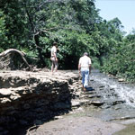
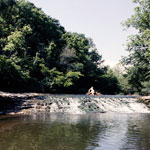
Staircase Falls on Buck Creek
|
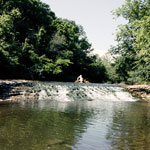
Buck Creek Falls
|
Buck Creek Falls
|
Buck Creek Falls
|