|
1
||
2
|
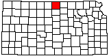
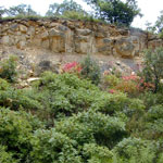
Fort Hays Limestone Member
|
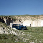
Ash Deposits
|
Septarian Concretions
|
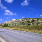
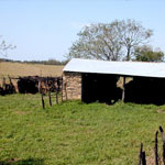
Greenhorn Limestone Shed
|
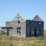
Abandoned Wood-Framed Farmhouse

|
Farmhouse Ruins
|
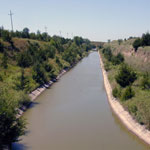
Courtland Canal
|
Eroded Blue Hill Shale
|
Fort Hays Limestone Member
|
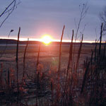
Sunset at Lovewell Reservoir
|
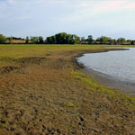
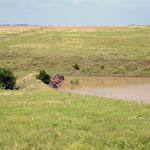
Lovewell Reservoir
|
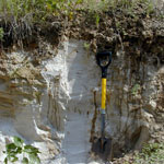
Ash Deposits
|
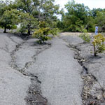
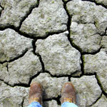
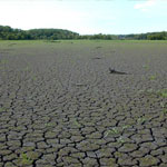
Mud Cracks at Lovewell Reservoir
|
Mud Cracks at Lovewell Reservoir
|
Old Car Bodies Protecting Pond Dam
|
Ash Deposits
|
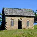
Limestone House Ruins
|
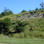
Slope Collapse in Blue Hill Shale
|
|
1
||
2
|