|
1
||
2
|
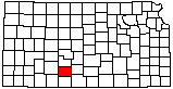
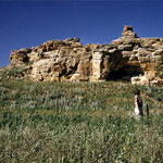
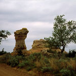
Camel Rock
|
Camel Rock
|
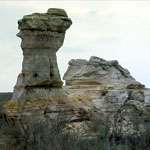
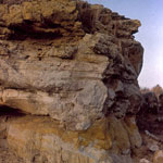
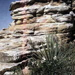
Cheyenne Sandstone Outcrops
|
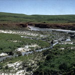
Champion Draw into Medicine Lodge River
|
Cheyenne Sandstone Outcrop
|
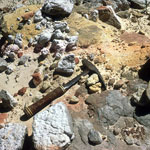
Cheyenne Sandstone Contact
|
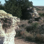
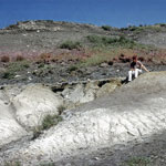
Pleistocene Caliche Deposits
|
Osage Rock
|
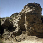
Cheyenne Sandstone Outcrop
|
Cheyenne Sandstone Outcrop
|
Kiowa Formation Shale
|
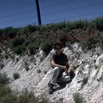
Caliche Zone
|
Camel Rock
|
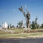
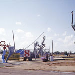
Tornado Damage at Greensburg City Park
|
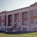
Tornado-Damaged Kiowa County Courthouse
|
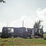
Tornado-Damaged Boy Scout Clubhouse in Greensburg
|
Greensburg Well
|
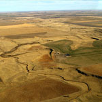
Upper Rattlesnake Creek (Aerial)
|
|
1
||
2
|