Flint Hills Tallgrass
|
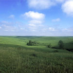
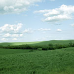
Spring Grasses
|
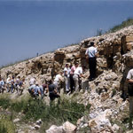
Limestone Outcrop
|
Post Office Oak, Council Grove
|
Burning Prairie
|
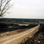
Lake Kahola Spillway

|
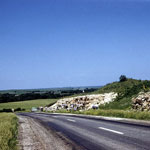
Threemile Limestone Member Roadcut
|
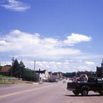
Downtown Council Grove
|
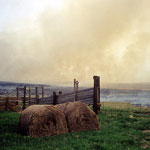
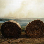
Prairie Fire and Hay Bales
|
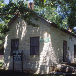
Last Chance Store, Council Grove
|
Burnt Range in the Flint Hills
|
Spring Prairie Burn
|
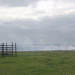
Spring Prairie Burn Fire Line

|
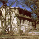
Farmers and Drovers Bank and Indicator Building

|