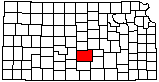
|
1
||
2
||
3
|
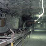
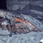
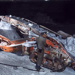
Underground Salt Mine
|
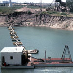
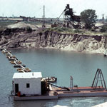
Steele Sand Plant at Hutchinson
|
Steele Sand Plant at Hutchinson
|
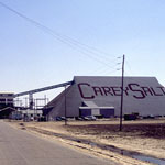
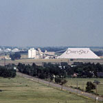
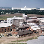
Carey Salt Plant
|
Steele Sand Plant at Hutchinson
|
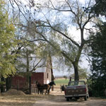
Barn and Corral at Plevna
|
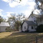
Farmhouse at Plevna
|
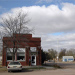
City Hall at Plevna
|
Carey Salt Plant at Hutchinson
|
Carey Salt Plant at Hutchinson
|
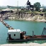
Underground Salt Mine Operation
|
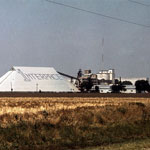
Salt Mine Conveyor
|
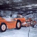
Salt Mine Drill and Transport
|
Carey Salt Plant at Hutchinson
|
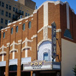
Fox Theater
|
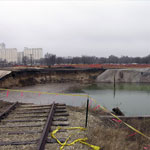
Sinkhole
|
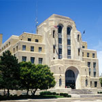
Reno County Courthouse
|
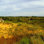
Blowout in Sand Dunes
|
|
1
||
2
||
3
|