|
1
||
2
|
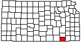
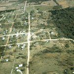
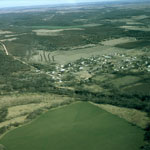
Cedar Vale (Aerial)
|
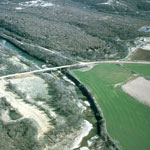
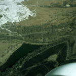
Caney River (Aerial)
|
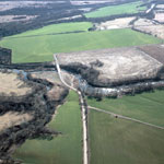
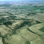
Kansas Highway 99 (Aerial)
|
Chautauqua Springs (Aerial)
|
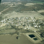
Elgin (Aerial)
|
Caney River (Aerial)
|
Cedar Vale (Aerial)
|
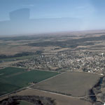
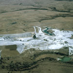
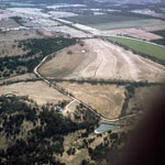
Rock Quarry (Aerial)
|
Elgin (Aerial)
|
Rock Quarry (Aerial)
|
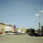
Downtown Sedan
|
Kansas Highway 99 and US 166 (Aerial)
|
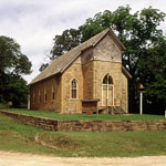
The Rock Church
|
|
1
||
2
|
|