|
1
||
2
||
3
|
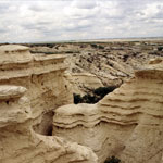
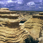
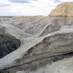
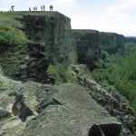
Wildcat Canyon
|
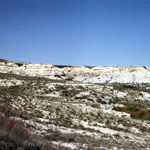
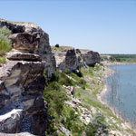
Cedar Bluff Overlooking Smoky Hill River
|
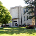
WaKeeney City Building
|
Wildcat Canyon
|
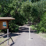
Agave Ridge Trail at Cedar Bluff State Park
|
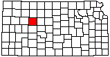
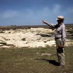
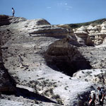
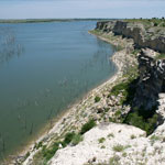
Fort Hays Limestone Formations at Cedar Bluff Reservoir
|
Fort Hays Limestone at Cedar Bluff Reservoir
|
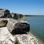
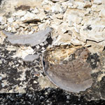
Fossilized Clam Shell in Fort Hays Limestone
|
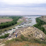
Trego County Courthouse
|
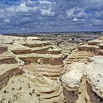
Wildcat Canyon
|
Wildcat Canyon
|
Wildcat Canyon
|
Wildcat Canyon
|
Wildcat Canyon
|
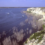
Cedar Bluff Reservoir
|
Fort Hays Limestone at Cedar Bluff Reservoir
|
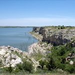
Cedar Bluff Reservoir
|
Cedar Bluff Reservoir
|
|
1
||
2
||
3
|