|
1
||
2
||
3
||
4
||
5
|
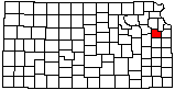
Lone Star Lake (Aerial)
|
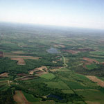
Baker Wetlands
|
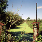
Douglas State Fishing Lake
|
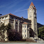
Dyche Hall
|
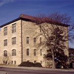
Stauffer-Flint Hall
|
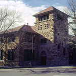
Union Pacific Railroad Passenger Depot
|
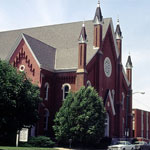
Plymouth Congregational Church
|
Kansas River Levee
|
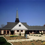
Spooner Hall
|
Baker Wetlands
|
Natural Gas Scenting Station
|
Bailey Hall
|
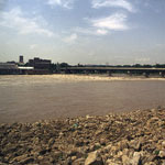
1993 Kansas River Flood

|
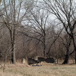
Territorial Fortress near Blanton's Bridge
|
1993 Kansas River Flood
|
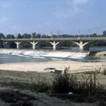
Old Kansas River Bridge
|
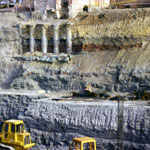
Hoch Auditorium Excavation
|
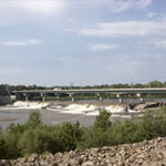
Bowersock Dam
|
|
1
||
2
||
3
||
4
||
5
|