|
1
||
2
||
3
|
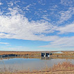
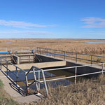
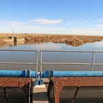
Cheyenne Bottoms Wildlife Area
|
Cheyenne Bottoms Wildlife Area
|
Cheyenne Bottoms Wildlife Area
|
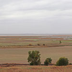
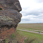
Cheyenne Bottoms Scenic Overlook
|
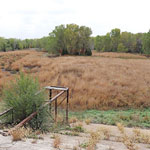
Barton Lake (Drained)
|
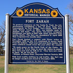
Fort Zarah Roadside Park
|
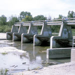
Diversion Dam on the Arkansas River near Dundee
|
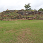
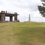
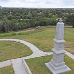
Pawnee Rock
|
Pawnee Rock
|
Pawnee Rock
|
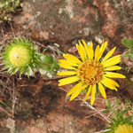
Wax Gumweed (aka Wax Goldenweed) and Dakota Sandstone at Pawnee Rock
|
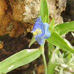
Erect Dayflower and Dakota Sandstone at Pawnee Rock
|
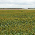
Sorghum Field West of Pawnee Rock
|
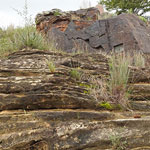
Pawnee Rock
|
Pawnee Rock
|
|
1
||
2
||
3
|