|
1
||
2
||
3
||
4
||
5
||
6
||
7
||
8
||
9
||
10
||
11
||
12
||
13
||
14
||
15
||
16
||
17
||
18
||
19
||
20
||
21
||
22
||
23
||
24
||
25
||
26
||
27
||
28
||
29
||
30
||
31
||
32
||
33
||
34
||
35
||
36
||
37
||
38
|
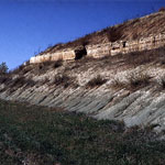
Roadcut Along U.S. Highway 40
|
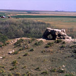
Elephant Rock (now collapsed)
|
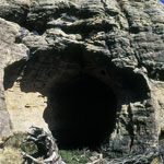
Palmer's Cave Petroglyph Site
|
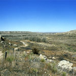
Ogallala Formation Outcrops
|
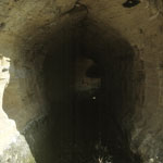
Palmer's Cave Petroglyph Site
|
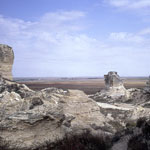
Around Cobra Rock Base
|
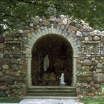
Quartzite Grotto at St. Mary's Cemetery
|
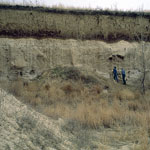
Volcanic Ash
|
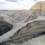
Wildcat Canyon
|
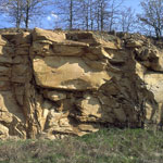
Sandstone Outcrop
|
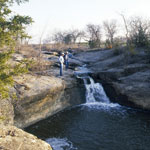
Butcher Falls
|
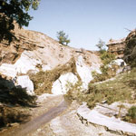
Collapsed Natural Bridge
|
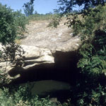
Hole in the Rock, Ireland Sandstone
|
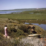
Near Wilson Dam on Saline River
|
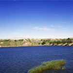
Clark State Fishing Lake
|
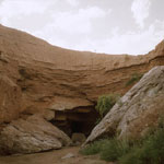
Natural Bridge
|
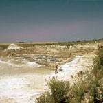
Volcanic Ash
|
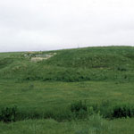
Ash Outcrop
|
|
1
||
2
||
3
||
4
||
5
||
6
||
7
||
8
||
9
||
10
||
11
||
12
||
13
||
14
||
15
||
16
||
17
||
18
||
19
||
20
||
21
||
22
||
23
||
24
||
25
||
26
||
27
||
28
||
29
||
30
||
31
||
32
||
33
||
34
||
35
||
36
||
37
||
38
|