|
1
||
2
||
3
||
4
||
5
||
6
|
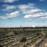
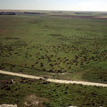
High Plains
|
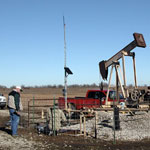
Coalbed Methane Well
|
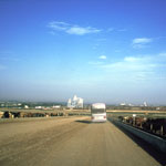
Dodge City Feedlots
|
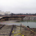
Sinkhole
|
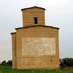
Abandoned Grain Elevator
|
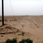
Blown Sand Across Cultivated Field
|
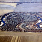
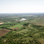
Republican River (Aerial)
|
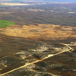
Old Center Pivot Irrigation Field in the Sand Hills (Aerial)
|
Cattle Disturbances Along Fence Line
|
Center Pivot Irrigation (Aerial)
|
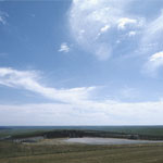
Arikaree Breaks
|
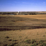
High Plains North of Oberlin
|
Cattle Herd Below Chalk Bluffs
|
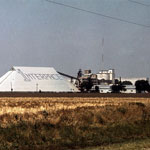
Carey Salt Plant at Hutchinson
|
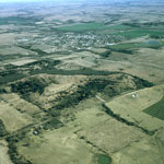
Cedar Vale (Aerial)
|
Bazaar Cattle Pens
|
Town of Studley
|
Kansas River Valley (Aerial)
|
|
1
||
2
||
3
||
4
||
5
||
6
|