|
1
||
2
||
3
||
4
||
5
||
6
||
7
||
8
||
9
||
10
||
11
||
12
||
13
||
14
||
15
||
16
||
17
||
18
||
19
||
20
||
21
||
22
||
23
||
24
||
25
||
26
||
27
||
28
||
29
||
30
||
31
||
32
||
33
||
34
|
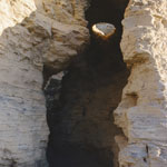
Cave Hollowed in Niobrara Chalk
|
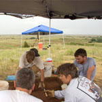
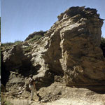
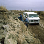
Geoarchaeology Excavation Site
|
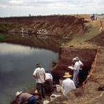
Excavation of 11,000-Year-Old Campsite
|
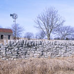
Stone Wall
|
Kiowa Formation Shale
|
Contour Cultivation
|
White Cloud Overlook
|
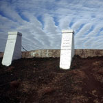
Four-State Lookout
|
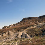
Niobrara Formation Below Ogallala Outcrop
|
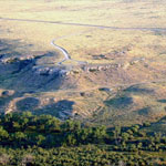
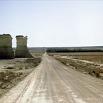
Point of Rocks and Cimarron River (Aerial)
|
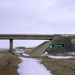
Kansas-Colorado Border
|
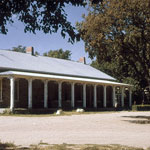
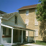
Fort Larned Officers' Quarters
|
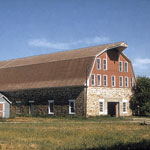
Fort Larned Barn
|
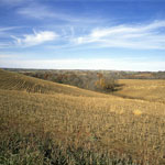
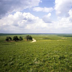
Flint Hills Open Range
|
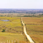
Flint Hills Back Roads
|
Palmyra Post Office and Old Castle Hall
|
Ogallala Formation Outcrop
|
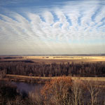
Smoky Hill River from Monument Rocks
|
|
1
||
2
||
3
||
4
||
5
||
6
||
7
||
8
||
9
||
10
||
11
||
12
||
13
||
14
||
15
||
16
||
17
||
18
||
19
||
20
||
21
||
22
||
23
||
24
||
25
||
26
||
27
||
28
||
29
||
30
||
31
||
32
||
33
||
34
|