|
1
||
2
||
3
||
4
||
5
||
6
||
7
||
8
||
9
||
10
||
11
||
12
||
13
||
14
||
15
||
16
||
17
||
18
||
19
||
20
||
21
||
22
||
23
||
24
||
25
||
26
||
27
||
28
||
29
||
30
||
31
||
32
||
33
||
34
||
35
||
36
||
37
||
38
||
39
||
40
||
41
||
42
||
43
||
44
||
45
||
46
||
47
||
48
||
49
||
50
||
51
||
52
||
53
||
54
||
55
||
56
||
57
||
58
|
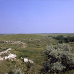
Red Hills
|
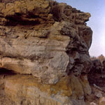
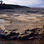
Cheyenne Sandstone Outcrop
|
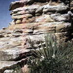
Cheyenne Sandstone Outcrop
|
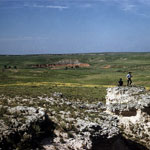
High Plains View
|
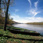
Missouri River
|
Rocky Ford on Big Blue River
|
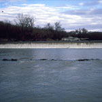
Flood Erosion Below Tuttle Creek Spillway
|
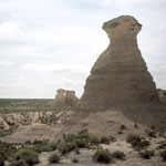
Little Jerusalem Badlands
|
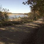
Riverfront Road between Lecompton and Lawrence
|
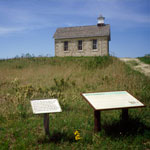
Lower Fox Creek School at Tallgrass Prairie National Preserve
|
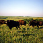
Bison on the Konza Prairie
|
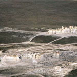
Monument Rocks (Aerial)
|
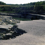
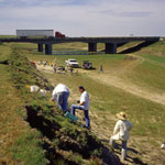
Excavation Along Burntwood Creek
|
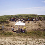
Excavations Along Beaver Creek
|
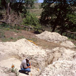
Geoarchaeology Dig
|
Flood Erosion Below Tuttle Creek Spillway
|
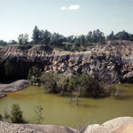
Collapsed Mine
|
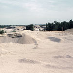
Mine Pits and Tailings
|
|
1
||
2
||
3
||
4
||
5
||
6
||
7
||
8
||
9
||
10
||
11
||
12
||
13
||
14
||
15
||
16
||
17
||
18
||
19
||
20
||
21
||
22
||
23
||
24
||
25
||
26
||
27
||
28
||
29
||
30
||
31
||
32
||
33
||
34
||
35
||
36
||
37
||
38
||
39
||
40
||
41
||
42
||
43
||
44
||
45
||
46
||
47
||
48
||
49
||
50
||
51
||
52
||
53
||
54
||
55
||
56
||
57
||
58
|