|
1
||
2
||
3
||
4
||
5
||
6
||
7
||
8
||
9
||
10
||
11
||
12
||
13
||
14
||
15
||
16
||
17
||
18
||
19
||
20
||
21
||
22
||
23
||
24
||
25
||
26
||
27
||
28
||
29
||
30
||
31
||
32
||
33
||
34
||
35
||
36
||
37
||
38
|
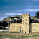
Lake Scott State Park Dining Hall
|
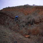
Dissolution Slump
|
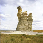
Castle Rock Before 2001 Collapse
|
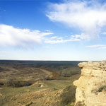
Point of Rocks Outcrop
|
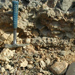
Glacial Till Congomerate
|
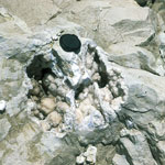
Geodes in Limestone
|
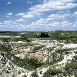
Diatomaceous Marl
|
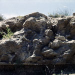
Pleistocene Outcrop
|
Outcrop of Hickory Creek Shale Member
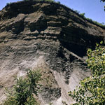
|
Surface Soil Profile West of Arkansas River Valley
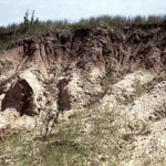
|
Castle Rock (1956)
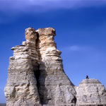
|
Castle Rock—Northwest Side (1970)
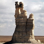
|
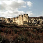
Chalk Bluffs
|
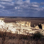
Niobrara Chalk Badlands
|
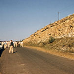
Roadcut
|
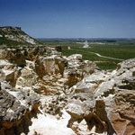
Castle Rock and Eroded Chalk Bluffs
|
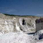
Quarried Ash Bed
|
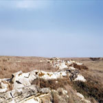
Gove County Fault
|
|
1
||
2
||
3
||
4
||
5
||
6
||
7
||
8
||
9
||
10
||
11
||
12
||
13
||
14
||
15
||
16
||
17
||
18
||
19
||
20
||
21
||
22
||
23
||
24
||
25
||
26
||
27
||
28
||
29
||
30
||
31
||
32
||
33
||
34
||
35
||
36
||
37
||
38
|