KGS Photo Display System

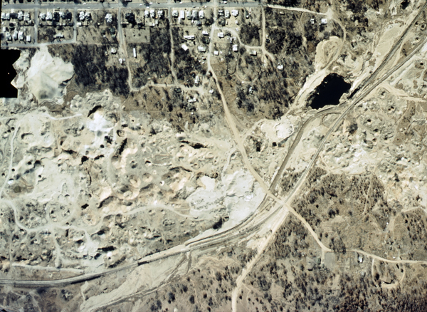
Open Mines, Asphalt Lake (Aerial)
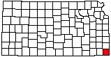
location map
Help Comments
County: Cherokee Subjects: Landscapes --Hazards
Industries --Lead and Zinc Mining
Industries --Mining
Landscapes --Aerial Photo

photo--if missing then file not yet transferred

Photo courtesy U.S. Geological Survey.
1980s.

Kansas Geological Survey, Educational Resources
Feel free to use photos from the Kansas Geological Survey's collection for any non-commercial use.
Please credit the Kansas Geological Survey for photos you use.
Comments to webadmin@kgs.ku.edu
URL=http://www.kgs.ku.edu/Images/DB/index.html
Program updated Nov. 11, 2004. Photos added periodically.