| Folder No. | County Name City |
Scanning | TSR | Quadrangle | Lat/Long | Project | Dates | Miscellaneous | Range of sheets | No. of sheets |
Cabinet | Notes |
|---|---|---|---|---|---|---|---|---|---|---|---|---|
|
Sheet 1, No. 103
View |
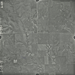
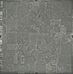
Barber
Hackberry Creek (East of Medicine Lodge), Hardtner |
Scanned
(10 online) |
S 1-18 T. 35S R. 13W, S 5, 6, 7, 8, 17, 18 T. 35S R. 12W | Medcine Lodge 3SE |
37.0471
-98.772969 |
GS-VCVH | 1-10-1972 | Flights 1, 2, 3, and 4 | 2:35, 37, 65, 69, 87, 199, 201, 203, 204, 205 | 10 | 2 |
Click on any thumbnail to view a larger photo.
GS-VCVH-2-35
|
GS-VCVH-2-37
|
GS-VCVH-2-65
|
GS-VCVH-2-69
|
GS-VCVH-2-87
|
GS-VCVH-2-199
|
GS-VCVH-2-201
|
GS-VCVH-2-203
|
GS-VCVH-2-204
|
GS-VCVH-2-205
|