| Folder No. | County Name City |
Scanning | TSR | Quadrangle | Lat/Long | Project | Dates | Miscellaneous | Range of sheets | No. of sheets |
Cabinet | Notes |
|---|---|---|---|---|---|---|---|---|---|---|---|---|
|
Sheet 1, No. 1769
View |
Lyon
No city |
Scanned
(10 online) |
T. 16-18 S., R. 11-12 E. | Allen SW |
38.570731
-96.190225 |
GS-VCVG | 12-17-1971 | Flights 1-5 EW 11,000 | 1:112-116, 157-161, 181-176, 245-249, 278-274 | 10 | 34 | BKs - Tapes destroyed; 1 BK and Tape |
Click on any thumbnail to view a larger photo.
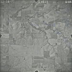
GS-VCVG-1-113
|
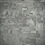
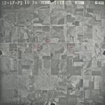
GS-VCVG-1-157
|
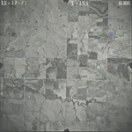
GS-VCVG-1-159
|
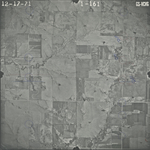
GS-VCVG-1-161
|
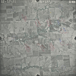
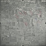
GS-VCVG-1-177
|
GS-VCVG-1-179
|
GS-VCVG-1-181
|
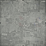
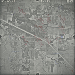
GS-VCVG-1-245
|
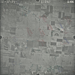
GS-VCVG-1-247
|
GS-VCVG-1-249
|