| Folder No. | County Name City |
Scanning | TSR | Quadrangle | Lat/Long | Project | Dates | Miscellaneous | Range of sheets | No. of sheets |
Cabinet | Notes |
|---|---|---|---|---|---|---|---|---|---|---|---|---|
|
Sheet 1, No. 421
View |
Cheyenne, Sherman
No city |
Scanned
(14 online) |
T. 5-6 S., R. 39-40 W. | South of Drury Creek, Bird City South SW |
39.552139
-101.763697 |
EW 12000 VDRA | 10-3-1974 | Flights 1, 2, 3, 4 | 1-247 to 253, 1-268 to 274, 1-275 to 281, 1-296 to 303 | 14 | 9 | (SAME) |
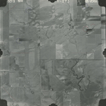
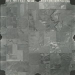
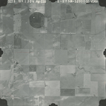
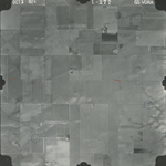
Click on any thumbnail to view a larger photo.
GS-VDRA_1-249
|
GS-VDRA_1-253
|
GS-VDRA_1-269
|
GS-VDRA_1-271
|
GS-VDRA_1-273
|
GS-VDRA_1-274
|
GS-VDRA_1-275
|
GS-VDRA_1-277
|
GS-VDRA_1-279
|
GS-VDRA_1-281
|
GS-VDRA_1-297
|
GS-VDRA_1-299
|
GS-VDRA_1-302
|
GS-VDRA_1-303
|