| Folder No. | County Name City |
Scanning | TSR | Quadrangle | Lat/Long | Project | Dates | Miscellaneous | Range of sheets | No. of sheets |
Cabinet | Notes |
|---|---|---|---|---|---|---|---|---|---|---|---|---|
|
Sheet 1, No. 580
View |
Kiowa, Comanche, Woods, OK
No city |
Scanned
(31 online) |
T. 30-35 S., R. 18 W. |
37.191559
-99.270821 |
CHK | 6-15-1950 | Elevation = 20000 | 3G-140 to 154; 4G-7 to 22 | 31 | 12 | Folder labeled 17-08 |
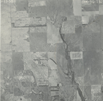
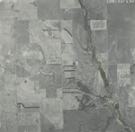
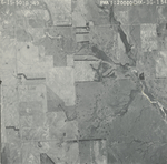
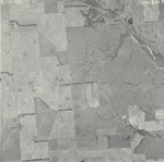
Click on any thumbnail to view a larger photo.
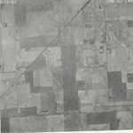
CHK-3G-140
|
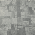
CHK-3G-141
|
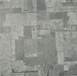
CHK-3G-142
|
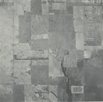
CHK-3G-143
|
CHK-3G-144
|
CHK-3G-145
|
CHK-3G-146
|
CHK-3G-147
|
CHK-3G-148
|
CHK-3G-149
|
CHK-3G-150
|
CHK-3G-151
|
CHK-3G-152
|
CHK-3G-153
|
CHK-3G-154
|
CHK-4G-7
|
CHK-4G-8
|
CHK-4G-9
|
CHK-4G-10
|
CHK-4G-11
|
CHK-4G-12
|
CHK-4G-13
|
CHK-4G-14
|
CHK-4G-15
|
CHK-4G-16
|
CHK-4G-17
|
CHK-4G-18
|
CHK-4G-19
|
CHK-4G-20
|
CHK-4G-21
|
CHK-4G-22
|