| Folder No. | County Name City |
Scanning | TSR | Quadrangle | Lat/Long | Project | Dates | Miscellaneous | Range of sheets | No. of sheets |
Cabinet | Notes |
|---|---|---|---|---|---|---|---|---|---|---|---|---|
|
Sheet 1, No. 104
View |
Barber
Lake City |
Scanned
(16 online) |
T. 31 S., R. 13 and 14 W. | Medicine Lodge 2SE |
37.305109
-98.870617 |
GS-VCVH | 12-18-1971 and 12-31-1971 | Flights 1, 2, 3, and 4; Dir. and F.H. VCVH EW 11500 | 100-94; 119-113; 120-126; 157-151 | 16 | 2 |
Click on any thumbnail to view a larger photo.
|
GS-VCVH-1-97
37.361612 -98.849124 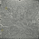
|
GS-VCVH-1-99
37.360571 -98.899672 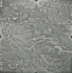
|
GS-VCVH-1-100
37.360632 -98.922884 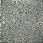
|
GS-VCVH-1-115
37.327029 -98.821887 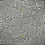
|
GS-VCVH-1-117
37.326207 -98.871495 
|
GS-VCVH-1-118
37.326918 -98.895273 
|
|
GS-VCVH-1-119
37.327507 -98.923189 
|
GS-VCVH-1-120
37.294097 -98.924285 
|
GS-VCVH-1-121
37.294095 -98.898943 
|
GS-VCVH-1-123
37.294053 -98.849436 
|
GS-VCVH-1-125
37.294137 -98.7982 
|
GS-VCVH-1-151
37.261375 -98.767968 
|
|
GS-VCVH-1-153
37.261961 -98.819143 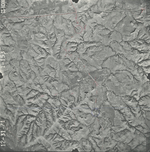
|
GS-VCVH-1-155
37.263865 -98.871577 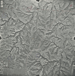
|
GS-VCVH-1-156
37.263954 -98.895949 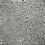
|
GS-VCVH-1-157
37.263728 -98.920841 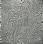
|