| Folder No. | County Name City |
Scanning | TSR | Quadrangle | Lat/Long | Project | Dates | Miscellaneous | Range of sheets | No. of sheets |
Cabinet | Notes |
|---|---|---|---|---|---|---|---|---|---|---|---|---|
|
Sheet 1, No. 232
View |
Butler
Augusta |
Scanned
(8 online) |
T. 27 S., R. 4 E. | Augusta |
37.688727
-96.941742 |
GS-VENV | 3-21-1978 | Flights 1 and 2 | 1-85 to 1-110 | 8 | 5 | See Augusta Index Sheet, NS 2000 |
Click on any thumbnail to view a larger photo.
|
GS-VENV_1-85
37.635439 -96.90845 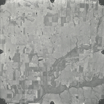
|
GS-VENV_1-86
37.672001 -96.907832 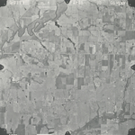
|
GS-VENV_1-87
37.705908 -96.912771 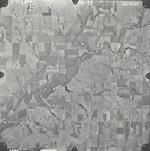
|
GS-VENV_1-88
37.738822 -96.912648 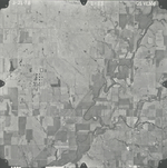
|
GS-VENV_1-107
37.738724 -96.970312 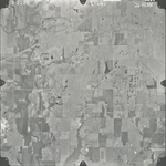
|
GS-VENV_1-108
37.707373 -96.972658 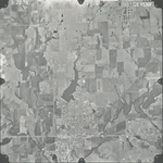
|
|
GS-VENV_1-109
37.674444 -96.97451 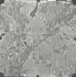
|
GS-VENV_1-110
37.637101 -96.974757 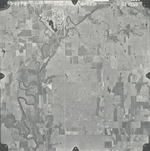
|