| Folder No. | County Name City |
Scanning | TSR | Quadrangle | Lat/Long | Project | Dates | Miscellaneous | Range of sheets | No. of sheets |
Cabinet | Notes |
|---|---|---|---|---|---|---|---|---|---|---|---|---|
|
Sheet 1, No. 321
View |
Chase
No city |
Scanned
(11 online) |
T. 18-19 S., R. 8-9 E. | Saffordville |
38.419779
-96.438006 |
Newton Revision GS-VFKD | 4-16-1986 | Flights 1, 2, 3, and 4 EW 12000 | 291; 272-274; 244-243; 222-226 | 11 | 7 |
Click on any thumbnail to view a larger photo.
|
GS-VFKD_1-222
38.381634 -96.494875 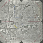
|
GS-VFKD_1-223
38.384283 -96.474454 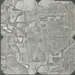
|
GS-VFKD_1-224
38.383995 -96.444263 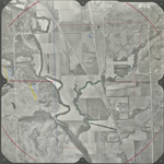
|
GS-VFKD_1-225
38.384052 -96.419581 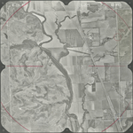
|
GS-VFKD_1-226
38.383995 -96.393503 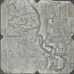
|
GS-VFKD_1-243
38.419953 -96.444345 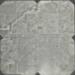
|
|
GS-VFKD_1-244
38.420068 -96.469614 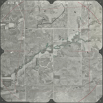
|
GS-VFKD_1-272
38.456708 -96.440064 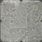
|
GS-VFKD_1-273
38.456536 -96.415676 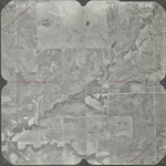
|
GS-VFKD_1-274
38.455673 -96.390626 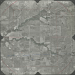
|
GS-VFKD_1-291
38.490674 -96.431069 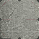
|